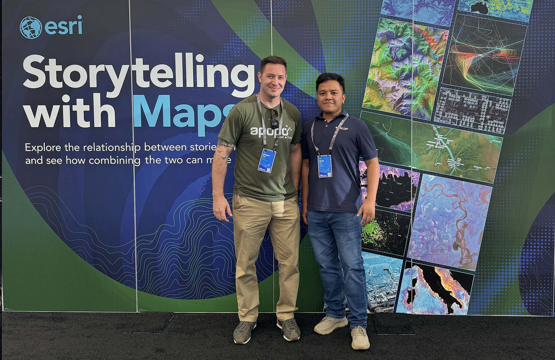
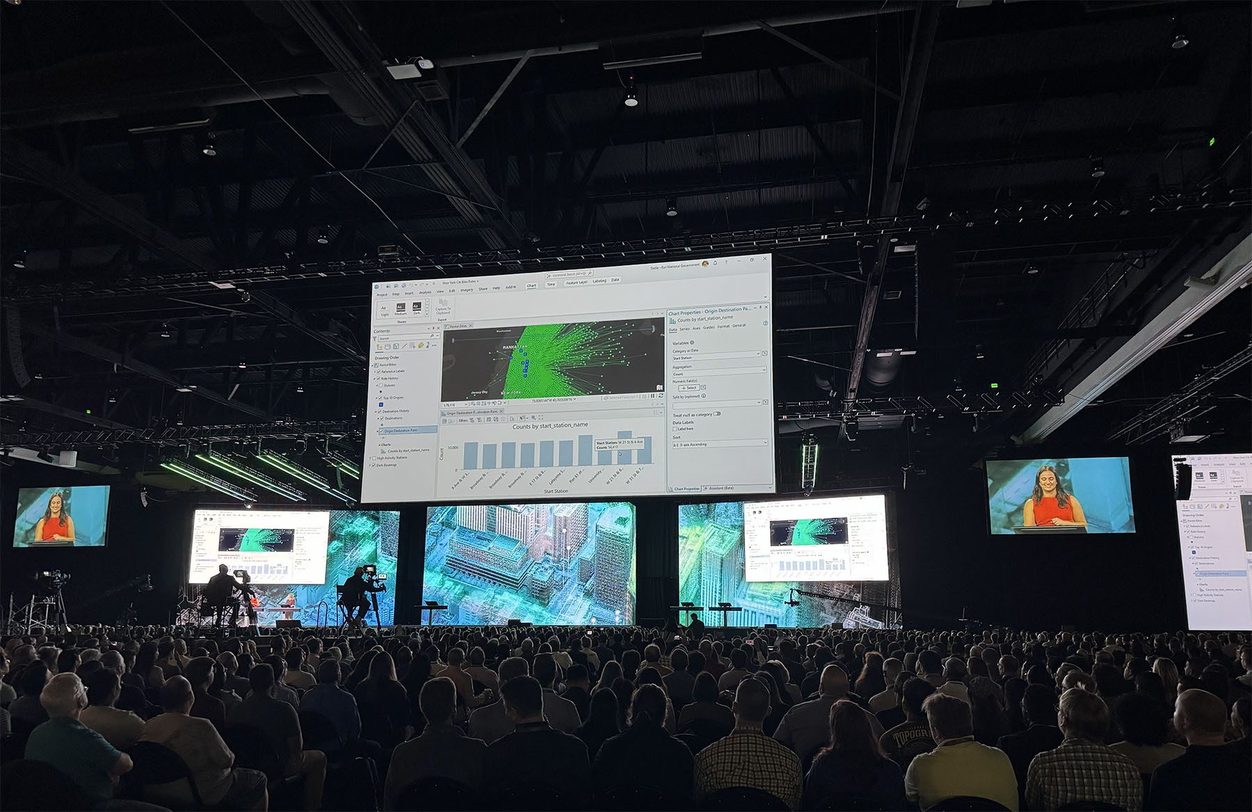
From 13 to 17 July 2026, APOPO showcased how it uses Geographical Information Systems (GIS) for humanitarian operations at the Esri User Conference in San Diego, California.
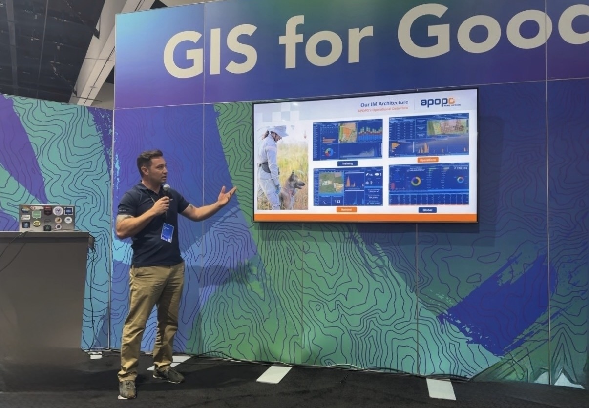
APOPO’s Global Information Systems Manager, Morgan Kline, and Global Information Management Coordinator, Pen Virak, joined more than 15,000 participants at the conference. They presented APOPO’s work alongside The HALO Trust at the GIS for Good exhibition, with Morgan also delivering a presentation at the GIS for Good Expo Theater.
“Our presentation was on APOPO’s operations and how we use Esri applications, tools, and workflows to capture our activities and enhance operational decision-making,” Morgan said.
GIS combines maps with data, allowing teams to collect, analyze, and visualize information connected to particular locations. For APOPO, this might mean recording the exact area searched by a detection dog, mapping where explosive items are found, monitoring agricultural development on former minefields, or bringing together information from tuberculosis (TB) screening programs.
One Data Hub for Diverse Operations
The presentation introduced the APOPO Data Hub, our centralized platform for bringing together information from programs around the world. By making operational data available through one connected system, the hub helps teams plan activities, monitor progress, identify gaps, and make decisions using current field information.
Morgan and Virak demonstrated how barcodes help identify and connect records consistently. This application of ID systems is utilized across a range of activities, from managing information associated with beneficiaries and documenting items found during operations to maintaining health, welfare, and training records for individual animals.
They also presented Esri workflows supporting HeroTREEs, Minefields to Ricefields, RescueRATs search-and-rescue research, and TB screening. Although these programs address very different challenges, each depends on accurate information that can be collected in the field, linked to a geo-location, and made available to the people responsible for operational decisions.
Mapping in Complex Environments
One solution presented was APOPO’s offline grid system for environments where conventional positioning technology may be disrupted. In Ukraine, for example, GPS jamming has created challenges for teams relying on satellite signals to establish their location. The offline grid system helps teams maintain consistent spatial records when live satellite positioning cannot be relied upon.
The presentation also covered APOPO’s track-and-trace system, which records routes covered during field operations, and recent advances in precision mapping. This approach combines the tracking of dogs as they work using global navigation satellite system technology with real-time kinematic corrections, known as GNSS RTK, with aerial surveys conducted using Wingtra drones equipped with RGB61 sensors.
GNSS uses signals from satellite constellations to establish a position. RTK applies corrections in real time, greatly reducing the errors that normally affect satellite positioning. Both APOPO’s dog-tracking system and the Wingtra drone surveys can produce centimeter-level accuracy in location data.
When combined, these methods can provide teams with a highly detailed picture of where dogs have worked and the surrounding terrain. The Wingtra drone system is currently undergoing field evaluation in Cambodia.
Working Directly With Technology Developers
Esri’s GIS for Good team arranged meetings with developers and technical specialists during the conference.
“Esri’s GIS for Good division organized the opportunity for us to meet with developers and technical experts in their team, who gave us unique insight into our Enterprise AGOL hybrid model design,” Morgan said.
Morgan and Virak met with developers from ArcGIS Field Maps to explore adding speed monitoring to APOPO’s dog tracks. They also spoke with teams working on Experience Builder, Survey123, and ArcGIS Enterprise. These tools support the creation of online interfaces, structured field data collection, and the management of APOPO’s wider information environment.
The team also attended drone demonstrations and met with Wingtra representatives to discuss APOPO’s specialized use of the company’s drones during the ongoing field evaluation in Cambodia.
Exploring Agentic AI for GIS
Another development highlighted at the conference was the application of agentic artificial intelligence, or agentic AI, within the Esri environment.
Agentic AI can do more than generate an answer to a question. Within defined limits, it can plan and carry out a sequence of actions using connected tools and data. Conference demonstrations showed how Esri applications could be connected to large language models, the technology behind conversational AI tools, to support mapping and data workflows. APOPO hopes to begin an initiative exploring this technology in 2027.
Throughout the conference, Morgan and Virak attended specialist tutorials on new developments in ArcGIS Pro and explored work presented by hundreds of organizations in the Map Gallery and accompanying events.
“We were inspired by the more than 15,000 attendees who came to share ideas about the world of GIS,” Morgan said.
The knowledge and technical contacts gained in San Diego will help APOPO refine its existing systems, evaluate new solutions, and continue turning field data into clear, practical information. Across mine action, public health, environmental restoration, animal care, and research, better information supports stronger operational decisions.